Open Space, Trails and Greenways Master Plan
Consultation has concluded
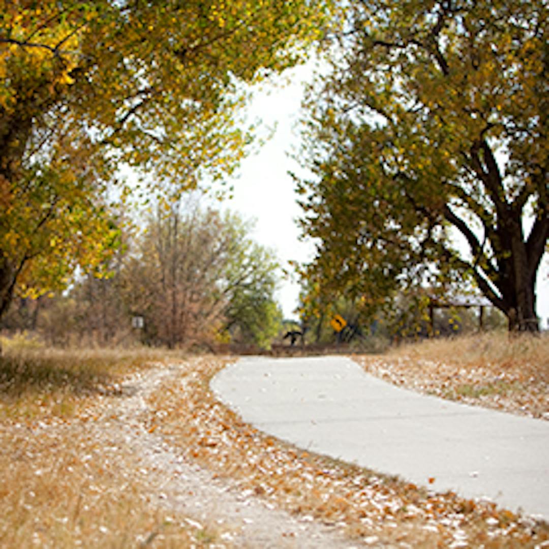
Project Overview
The Town of Parker is making minor map and text updates to the adopted Open Space, Trails and Greenways Master Plan, which was first adopted in 2004. In 2010, the Plan was updated to reflect the changes in the community, and maps were updated with open spaces, trails and greenways data. The Town is once again updating the Plan to incorporate new open spaces, trails and greenways.
Town leadership values open space, trails and greenways as they are an integral component of the community fabric and the quality of life enjoyed by Parker residents. The vision and mission of this master plan is:
| Master Plan Mission |
The Mission of the Town of Parker Open Space, Trails and Greenways Plan is to provide an integrated and cohesive open space and trails system that fulfills the recreational, non-motorized movement, ecological and aesthetic needs of the Town. |
As new development occurs, it is important to update maps to ensure linkages and connections are made to the regional trail network, greenways are extended, and open spaces are reserved. It is important to continue planning for open space, trails and greenways. The Plan also identified missing trail connections both within the Town and outside the Town’s boundary.
Examples of projects identified in the Plan that have now been completed:
- Preservation Park Connection: connect Cherry Creek Trail to Preservation Park
- Parker Park-n-Ride: improve connection from Sulphur Gulch Trail to Parker park-n-Ride.
- East-West Trail: including safe crossings at all major roadways (Chambers, Jordan, and Motsenbocker).
- Salisbury Equestrian Park: hard surface trail from Cherry Creek Trail to the Equestrian Park.
Updates to the maps 1, 2 and 3 are necessary to capture new trails, open space and parks.
- Map 1: Existing and Approved Open Space
- Map 2: Existing and Approved Trails
- Map 3: Missing Trail Connections
The full adopted Open Space, Trails and Greenways Master Plan can be found here:


Documents and Resources
-
 OSTG Master Plan - 2022 Update - Final.pdf (5.63 MB) (pdf)
-
OSTG Master Plan- 2022 Update Redline.docx (21.2 MB) (docx)
-
Notice of Public Hearings.pdf (63.4 KB) (pdf)
-
Existing and Approved Open Space Map (PDF) (560 KB) (pdf)
-
Existing and Approved Trails Map (PDF) (511 KB) (pdf)
-
Missing Trail Connections Map (PDF) (530 KB) (pdf)

Who's Listening
-

Phone (303) 805-3336 Email jfettig@parkeronline.org -

Phone (303) 805-3257 Email aanderson@parkeronline.org